7 November 2025
Shrine free hang gliding
Mount Nakatsumine circular course
Another good hike on a what was a very bright day. When I selected Tokushima as a place to come to, I was not sure if the hiking would be any good, but both hikes have been great, and even the designated non hiking day (yesterday) had a good hike.
Today's destination required a bus, but it was only about a 40 minute journey, came on time in both directions, departs once per hour, cost about $6 each way (cash only of course). When I got on at the main station, where the route starts, I was a bit confused because the ticket machine would not give me a numbered ticket, which you use to work out the fare when you get off. But it seems if you get on at the start of the route you do not need one. I will also point out that at least 10 other people got off at stops before me (I was the last remaining on board), and none of them paid any money at all, they all seemed to have pension cards of some kind.
Now for the stats and then a lot of photos -
24,500 steps
14.83km
5 hours (and 16 seconds)
1,226 calories burned
940m vertical ascent - felt like more
The bus stop to get off at is called Takara. It is about 1km from the bus stop to the start of the trail. There are no convenience stores, there are drinks vending machines (cash only).
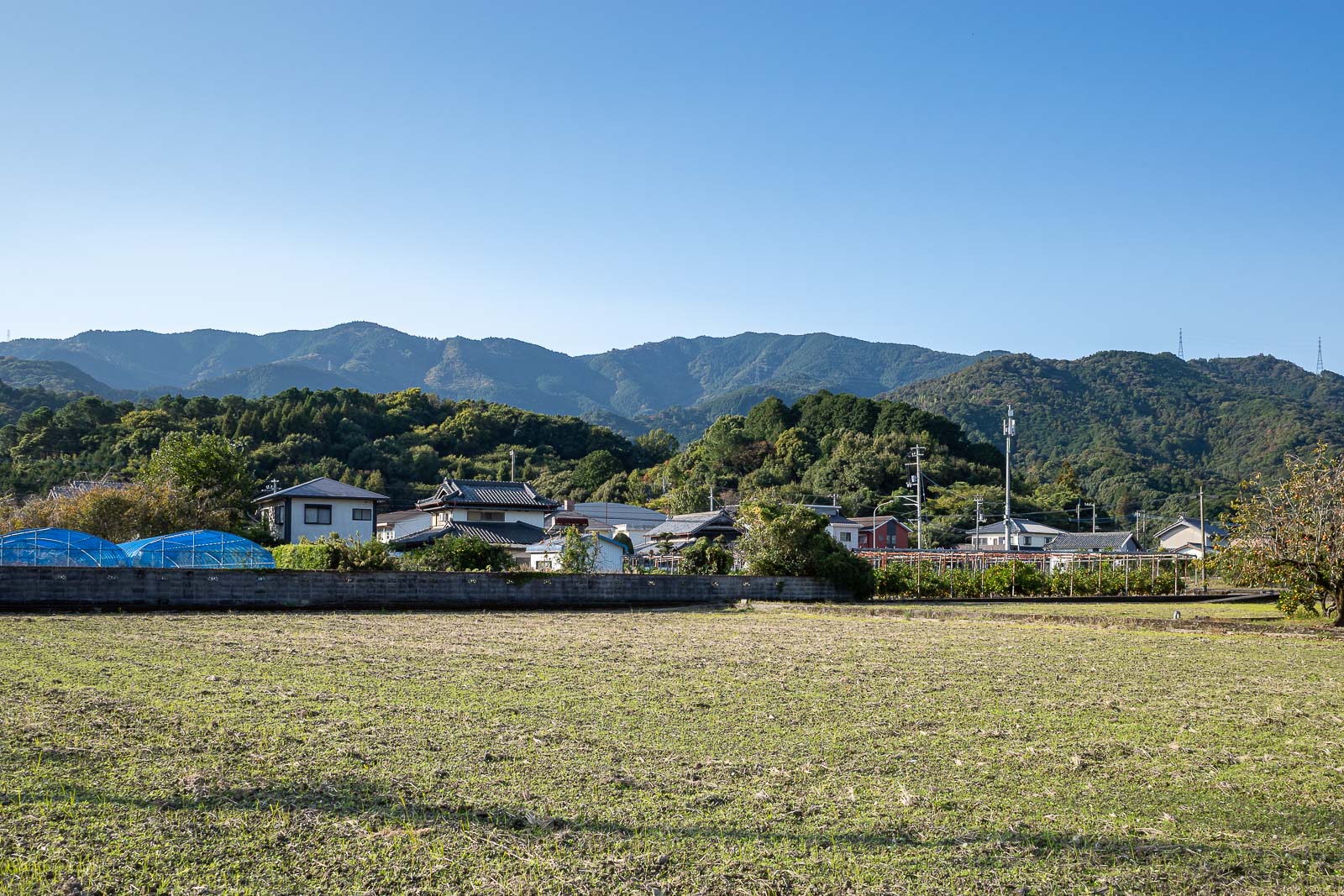
Today I will walk up the right side, all the way along the mountains in view, and down a ridge just off to the left of the screen.
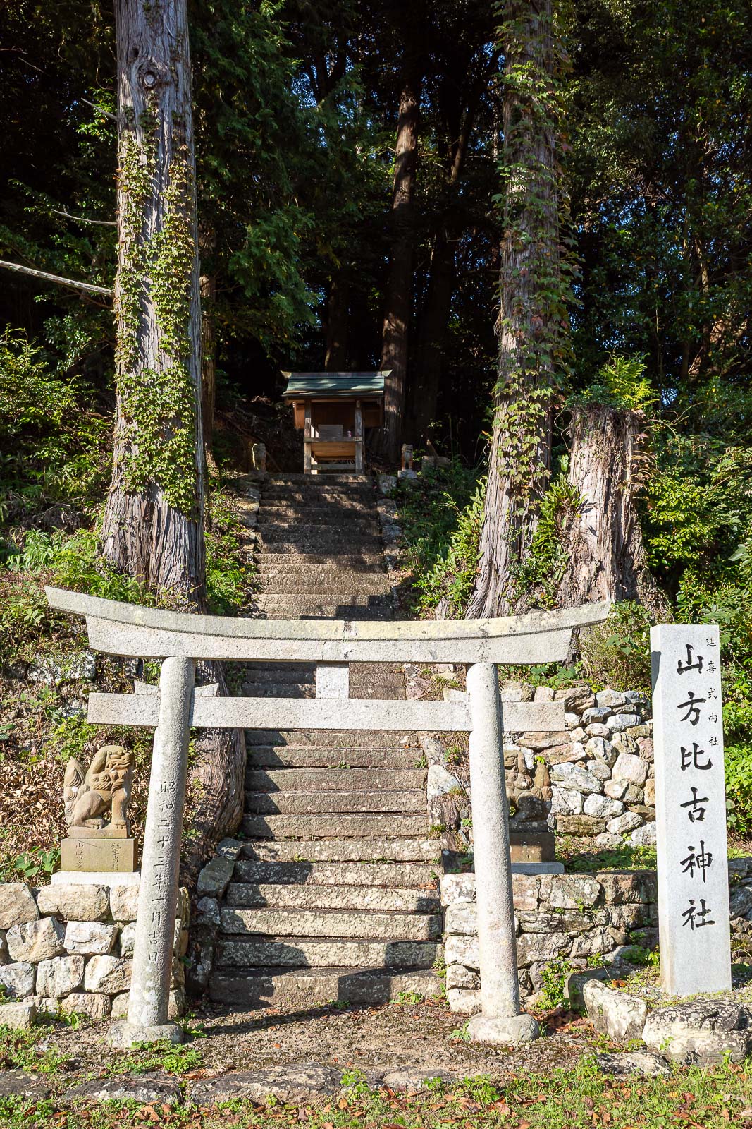
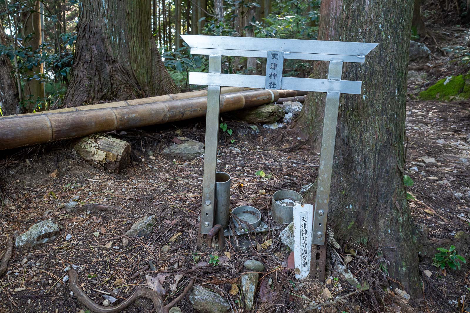
This is as close as there is to a shrine today. Very surprising.
Also surprising, the first part of the trail behind the gate in the above pic, is the hardest part to follow, there are many other ways up, I think one of them is more popular than the circuitous route I had selected.
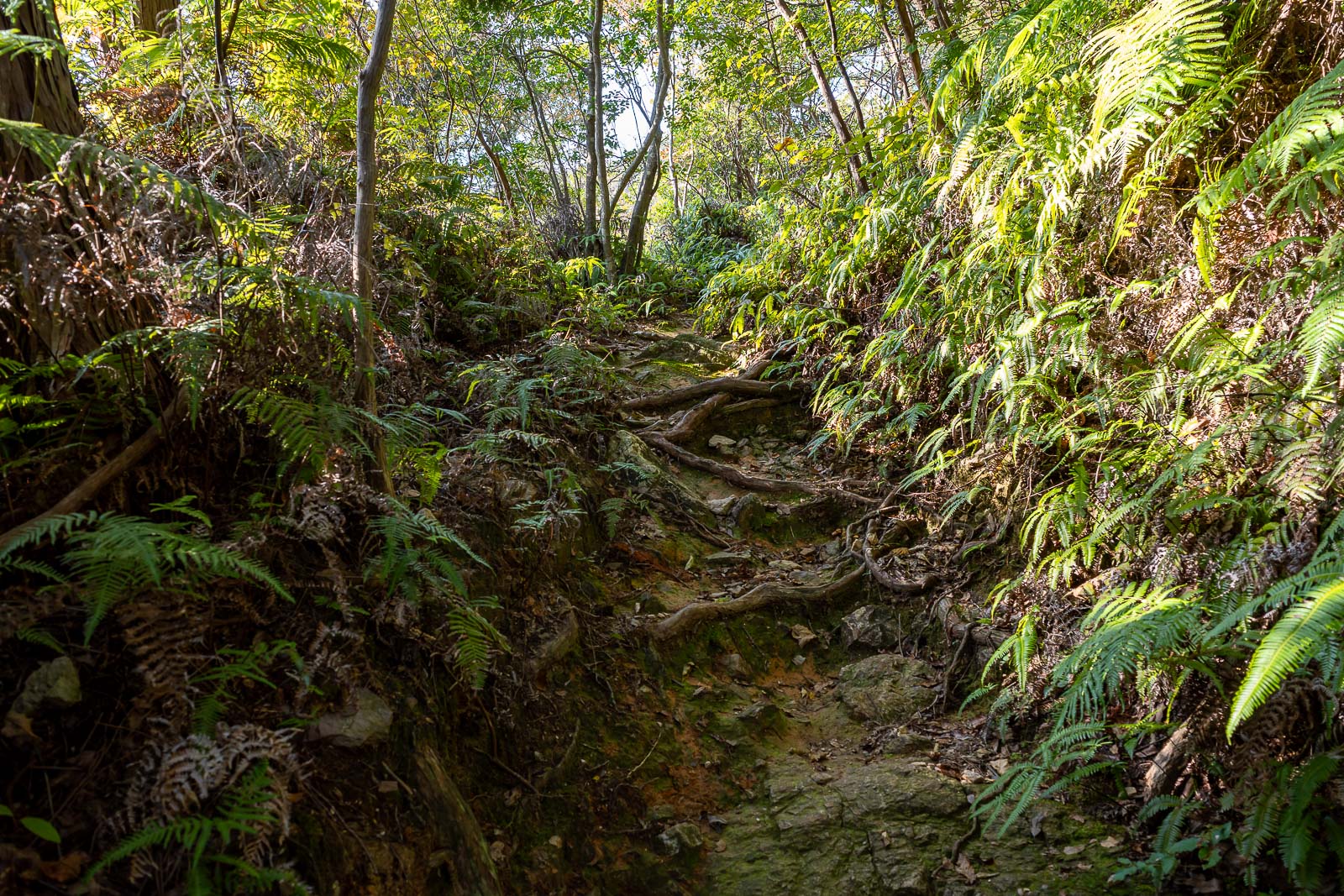
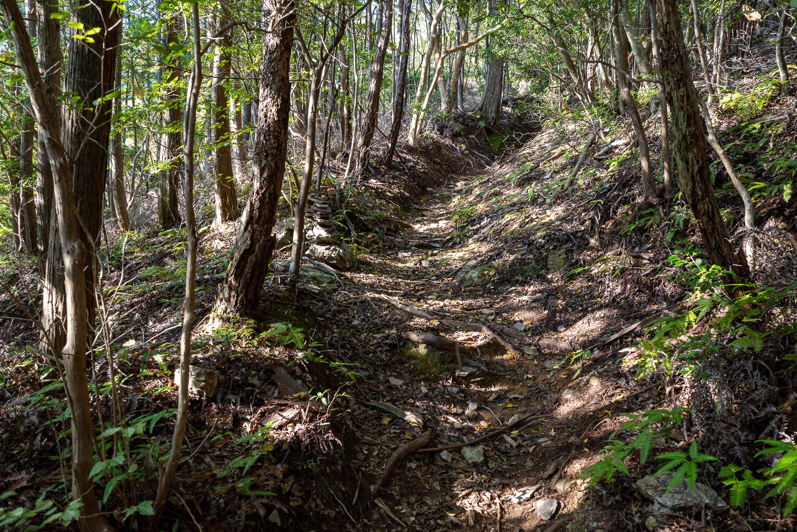
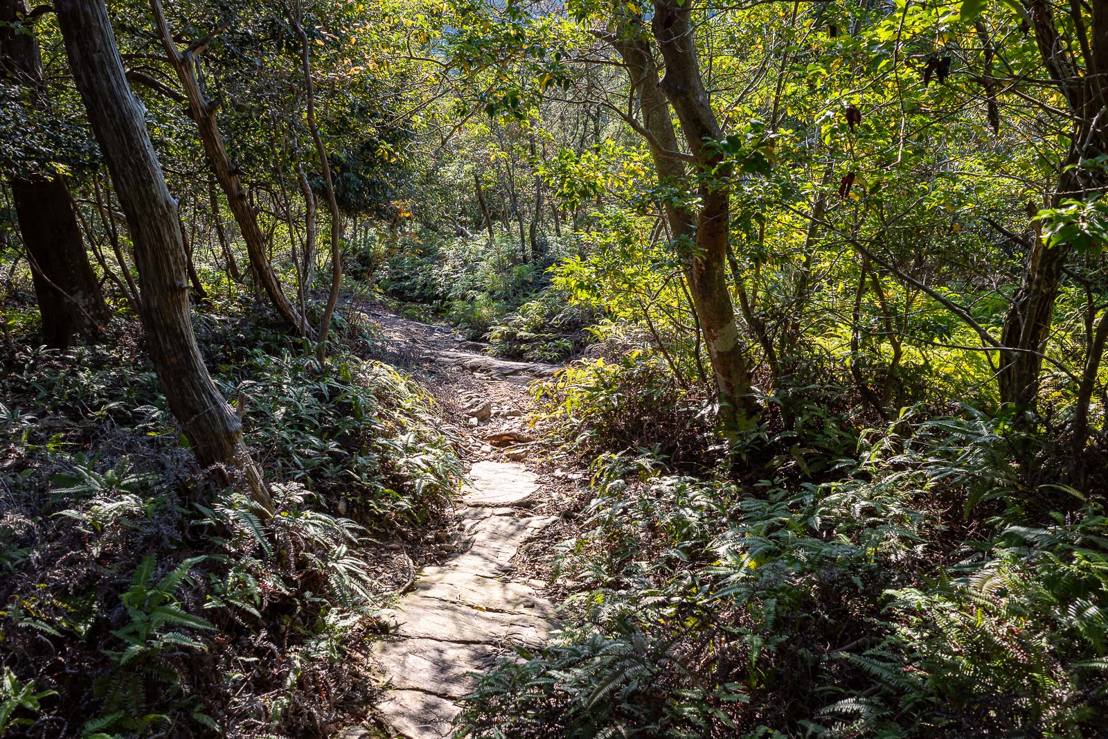
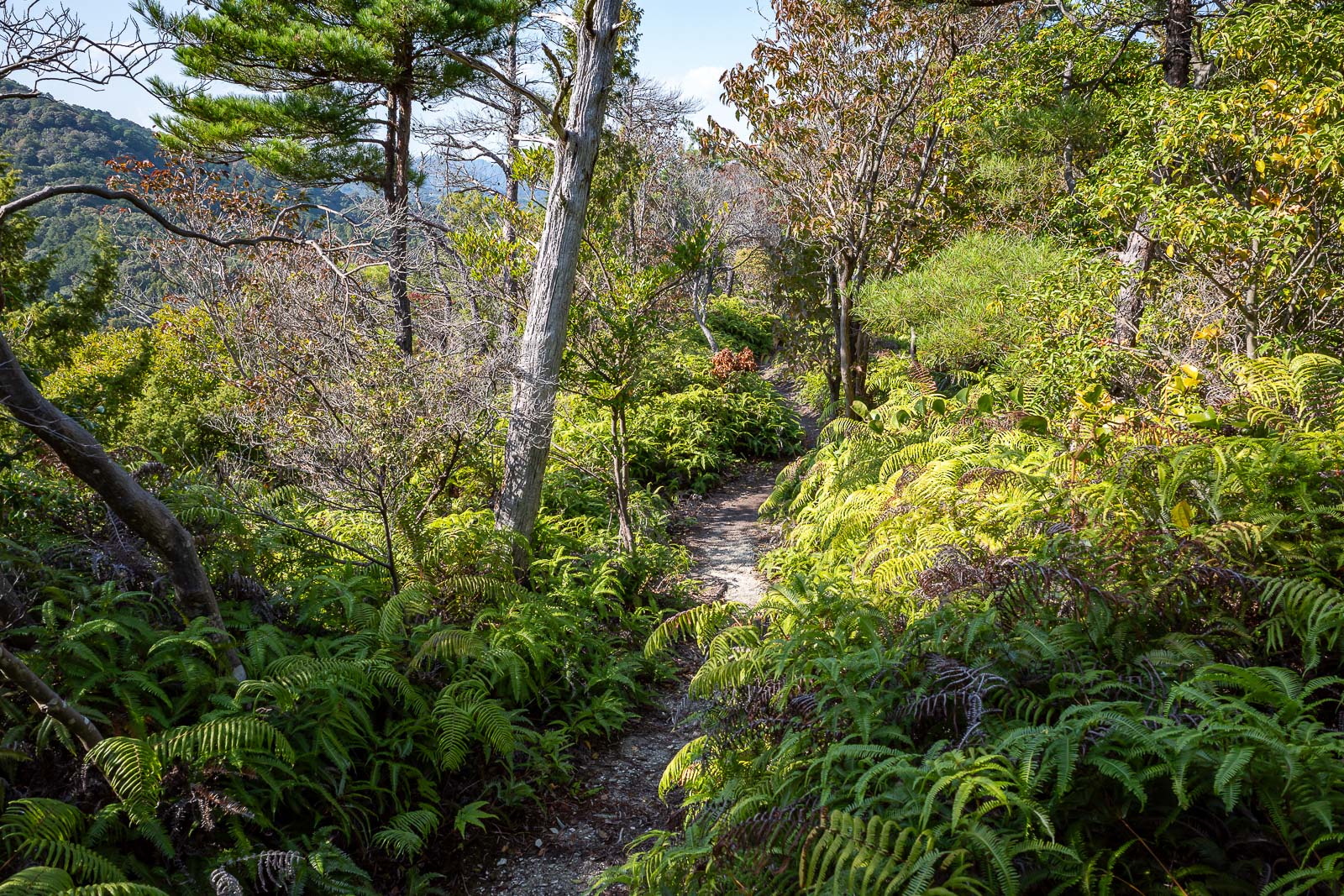
Lower parts were nice and ferny. I saw a foot long black worm of some description, or maybe it was a baby snake.
The odd bits of sun add drama.
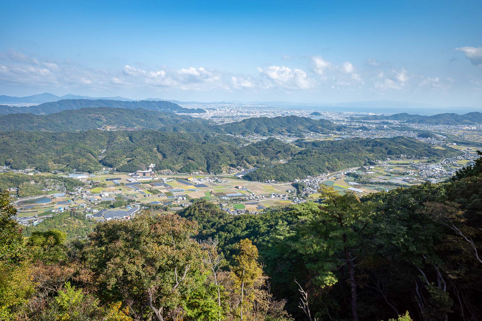
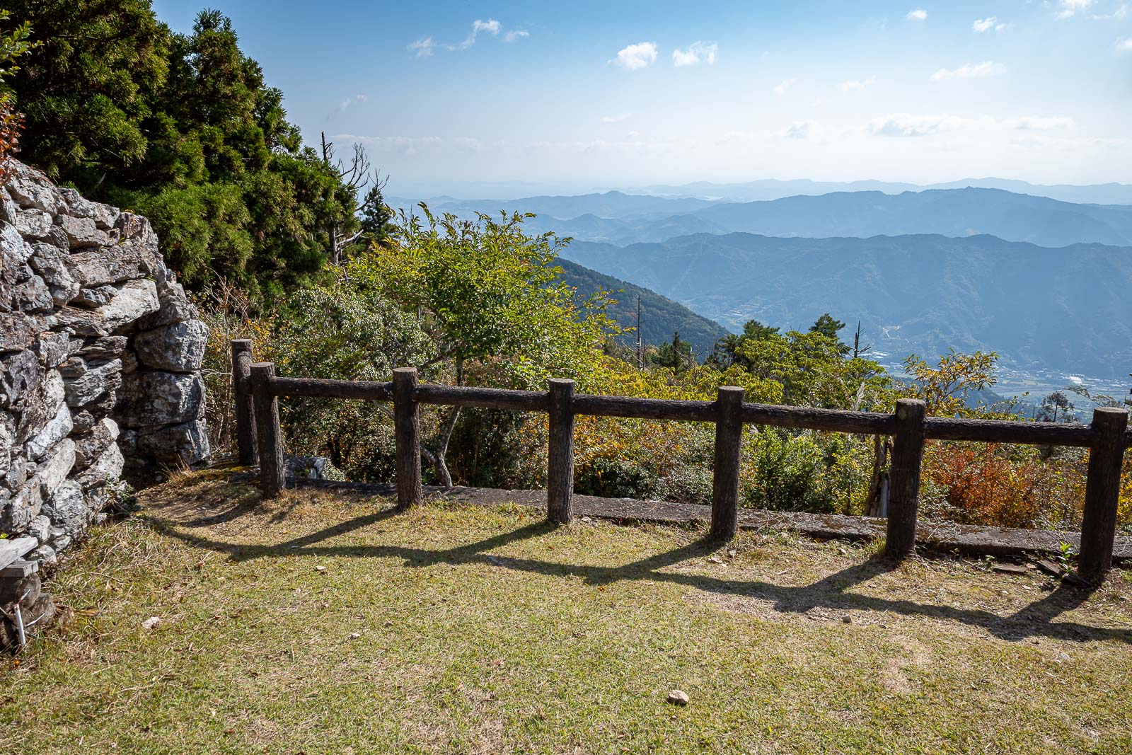
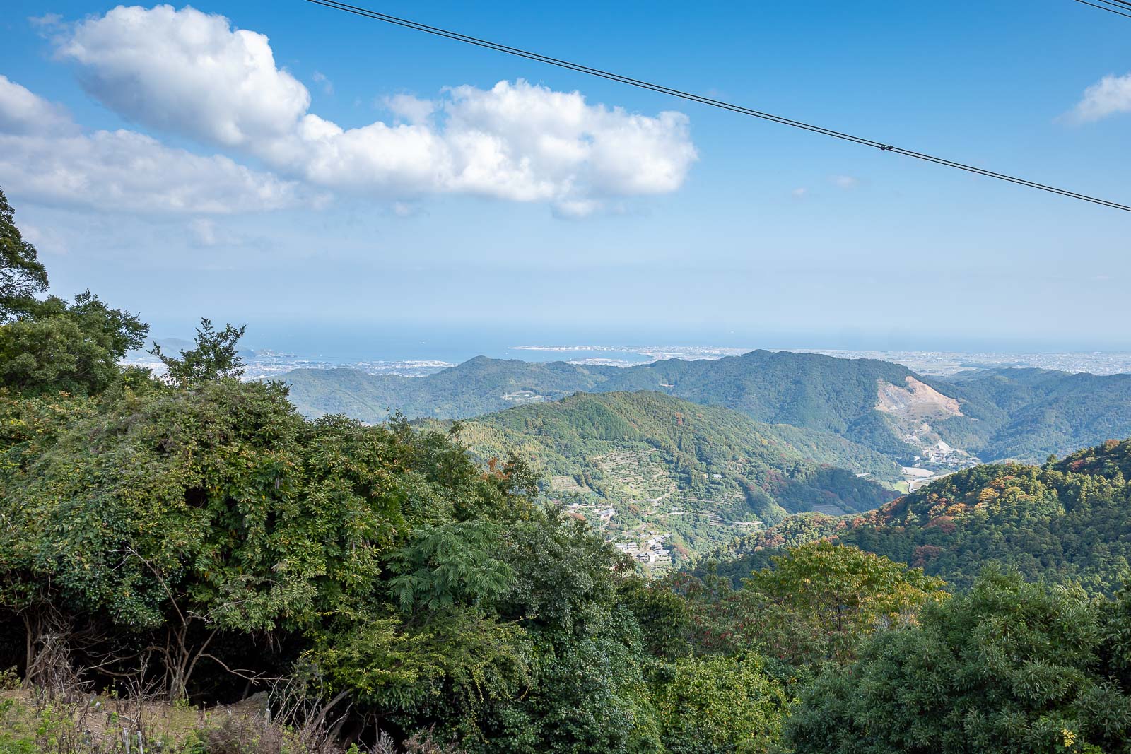
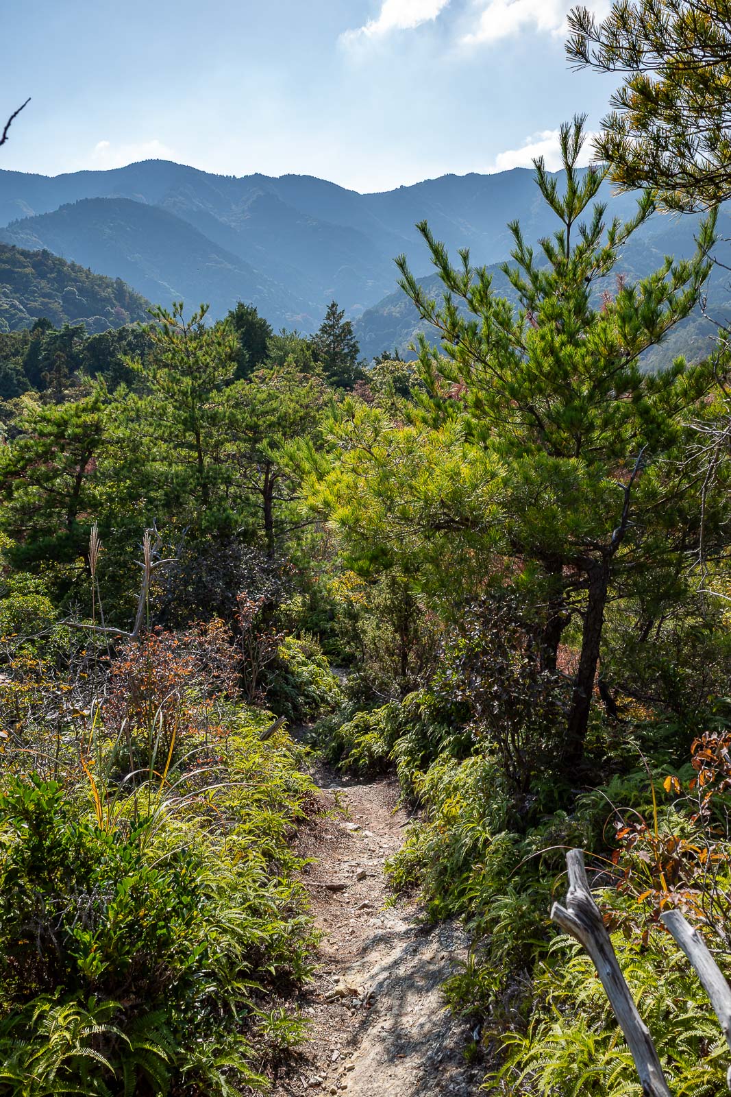
Not great light for this excellent view, but not bad anyway.
I will go up there.
I suspect this is going to have some big power lines added to it soon. There are plenty of others with similar gouges in the landscape.
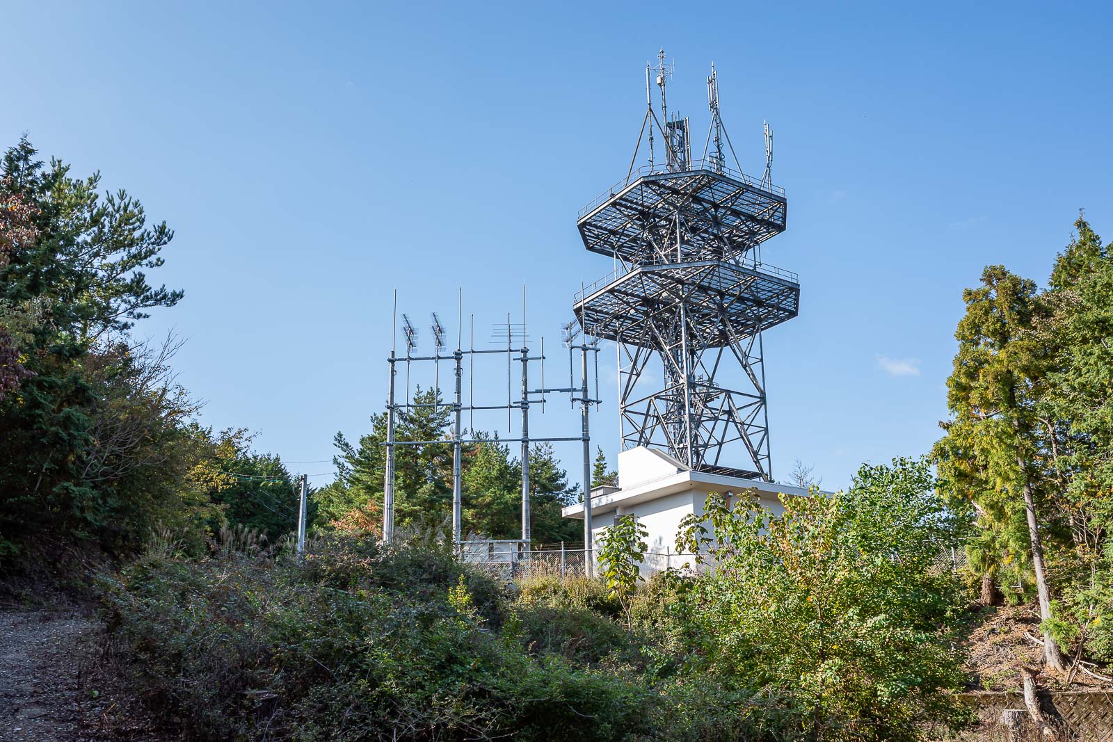
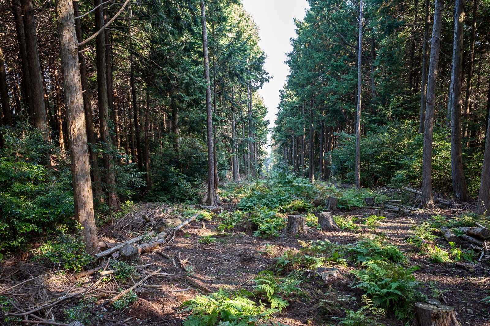
There are a couple of roads to cross on today's route, including one that comes to this secret base in the woods.
Here is the next shrine. Who has seen Spinal Tap?
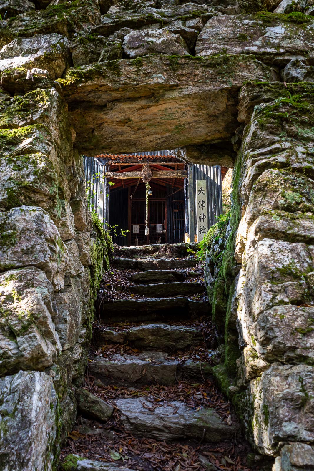
Arriving at the summit of Nakatsumine (I think), and you have to go through a hole in the wall. Maybe the shed through the hole is a shrine, but I don't count it as one.
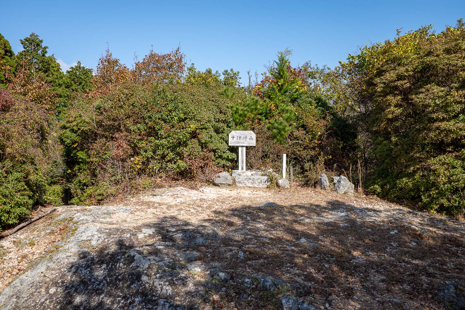
Official summit area has no view.
Because of the nice warm dry weather, farmer's have commenced burning piles of plastic all across Japan.
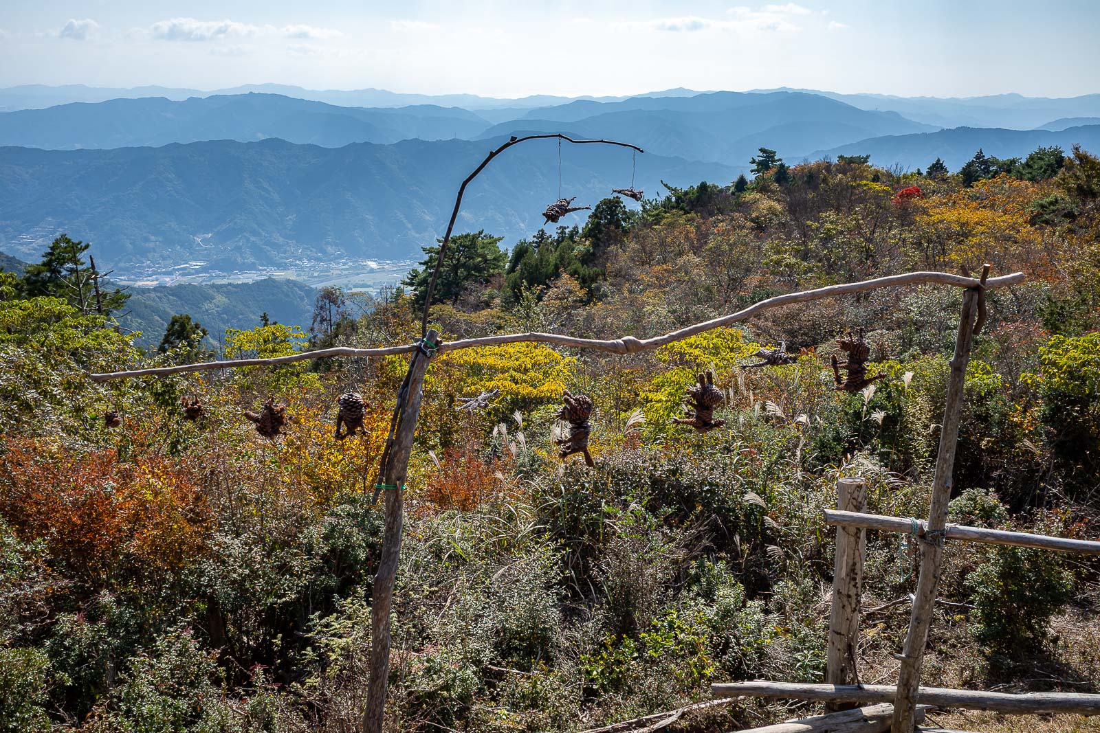
What are these things hanging from the branches? Some sort of warning? The only person I saw all day is sitting behind me playing a harmonica, an old lady with no teeth. Is she a witch?

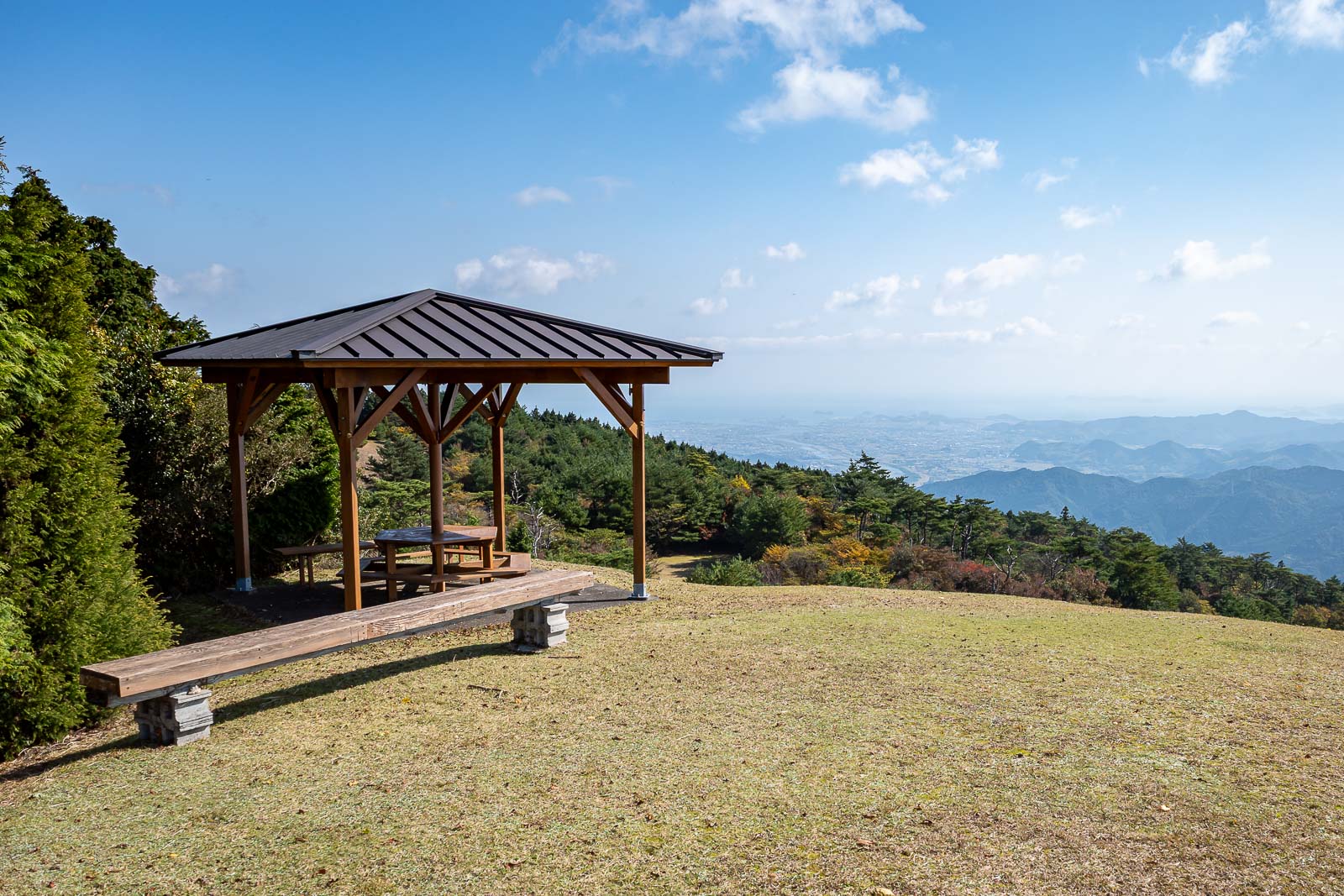
OK, I know what this whole area is, but if I did not already see it on the map before I started the hike I would assume it was a ski field, without ski lifts.
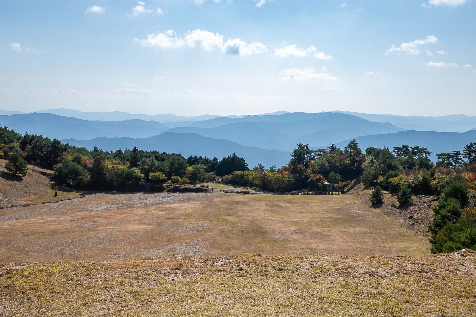
Apparently, this is a practice area, but for what?
This whole area is a hang gliding park. There was no one at all here, and I am not convinced it is actively used.
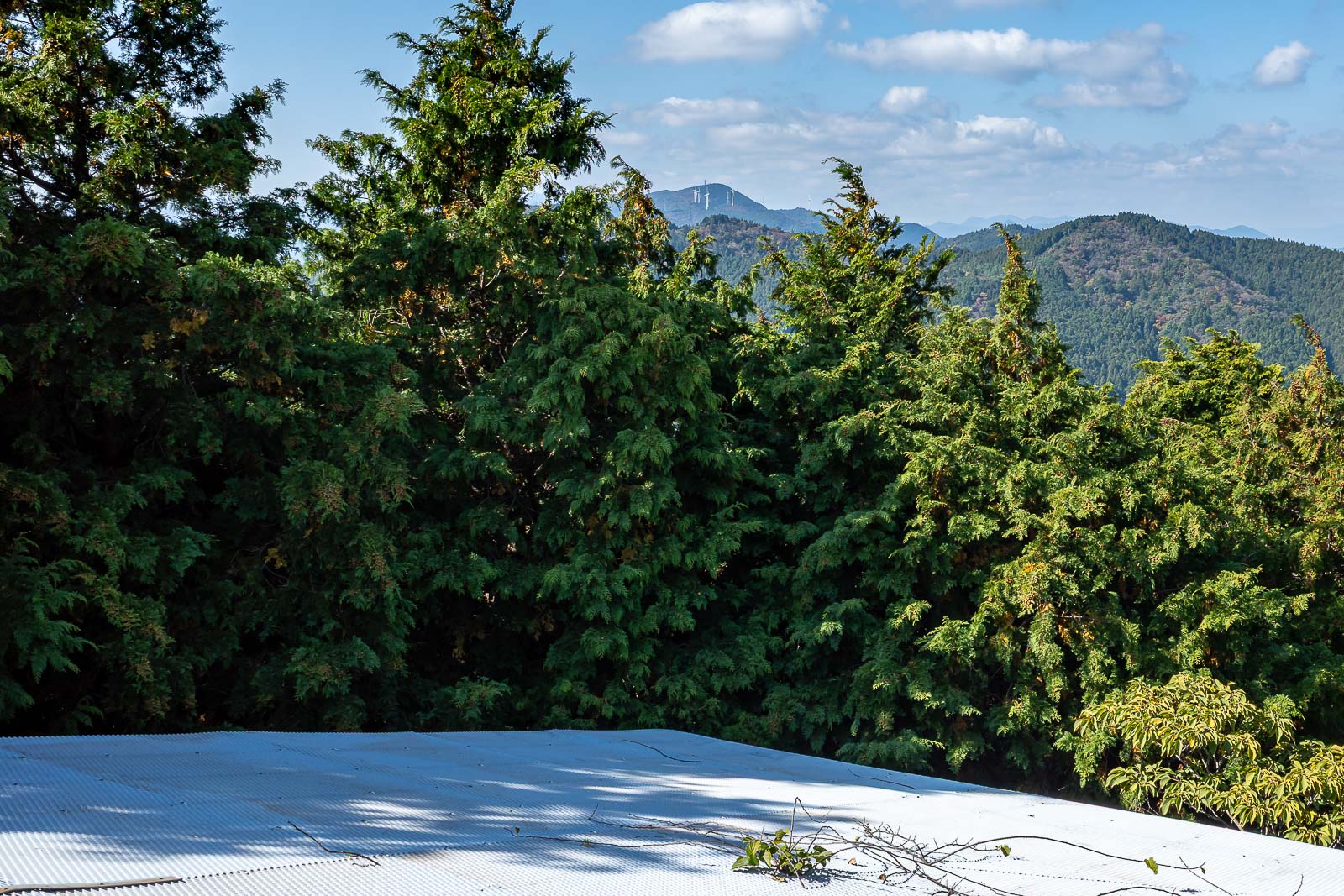
The reason I think it might no longer be used, this departure ramp runs straight into big trees. Also if you squint you can see a few big wind farm style windmills in this pic, in my experience these are a rarity in Japan, there are solar farms everywhere but very few wind farms.
I stopped here for a protein bar. 20g of protein, I'm ripped now.
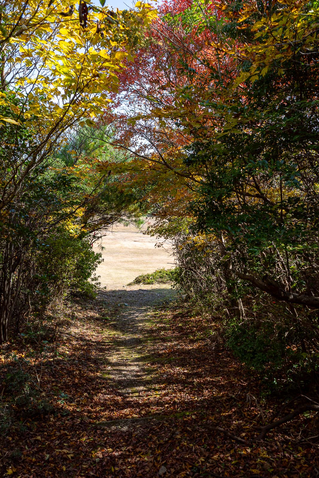
Nice tree cave, small amount of Autumn colour.
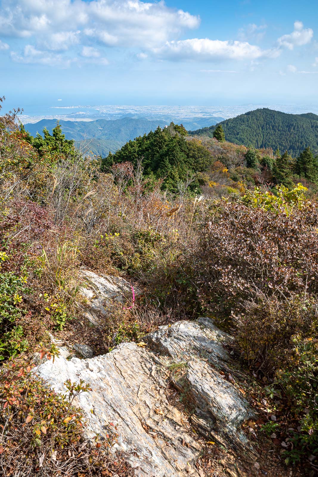
After departing the hang gliding park, it was time to go along a long ridge joining 2 summits. It was quite rocky at first.
I was tempted to use Adobe Lightroom's new AI replace feature to get rid of the wire, but that is a slippery slope.
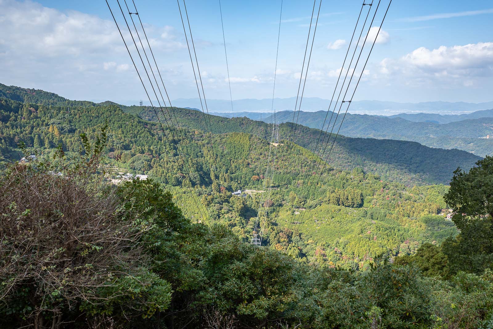
So instead I doubled down, here are some more wires.
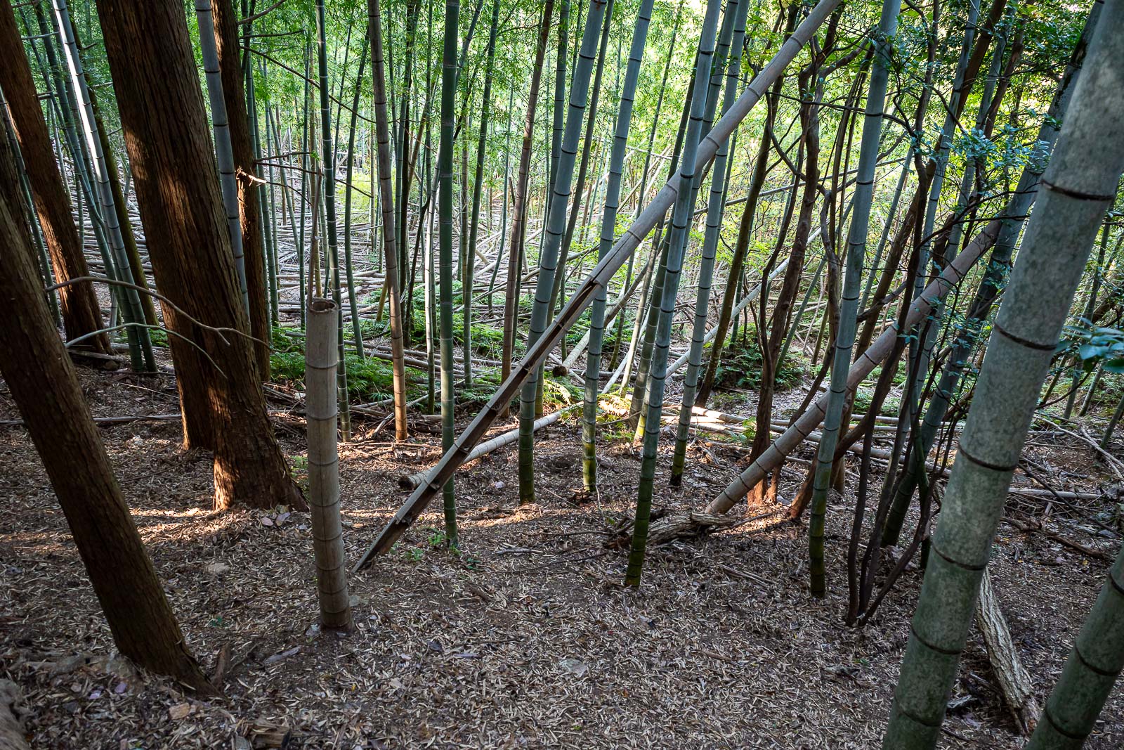
On the way down, bamboo time.
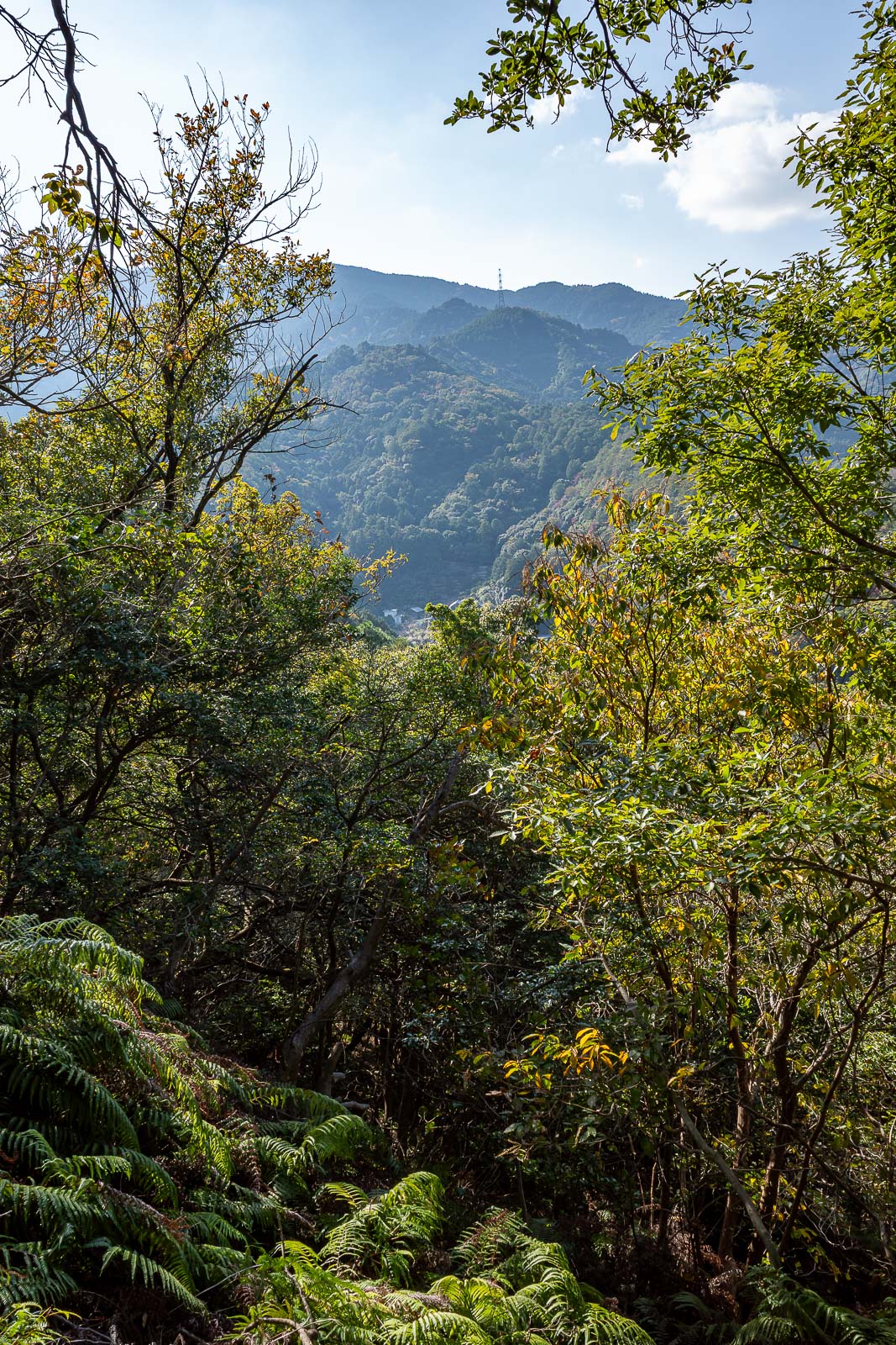
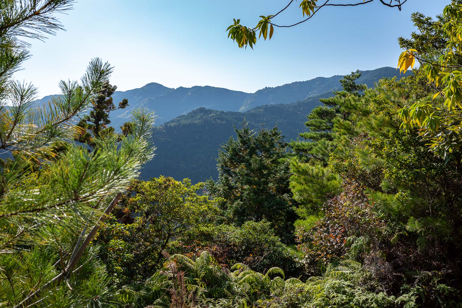
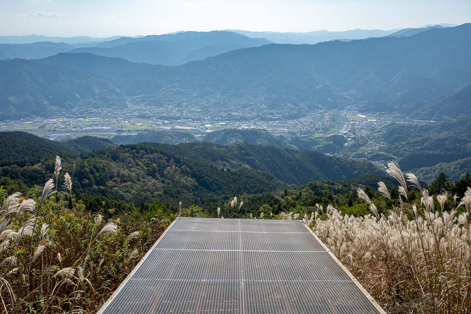
Bonus view photo.
Now it was time for some more ferns.
This reminded me of the bonus bit of the hike I did a couple of years ago on Miyajima.
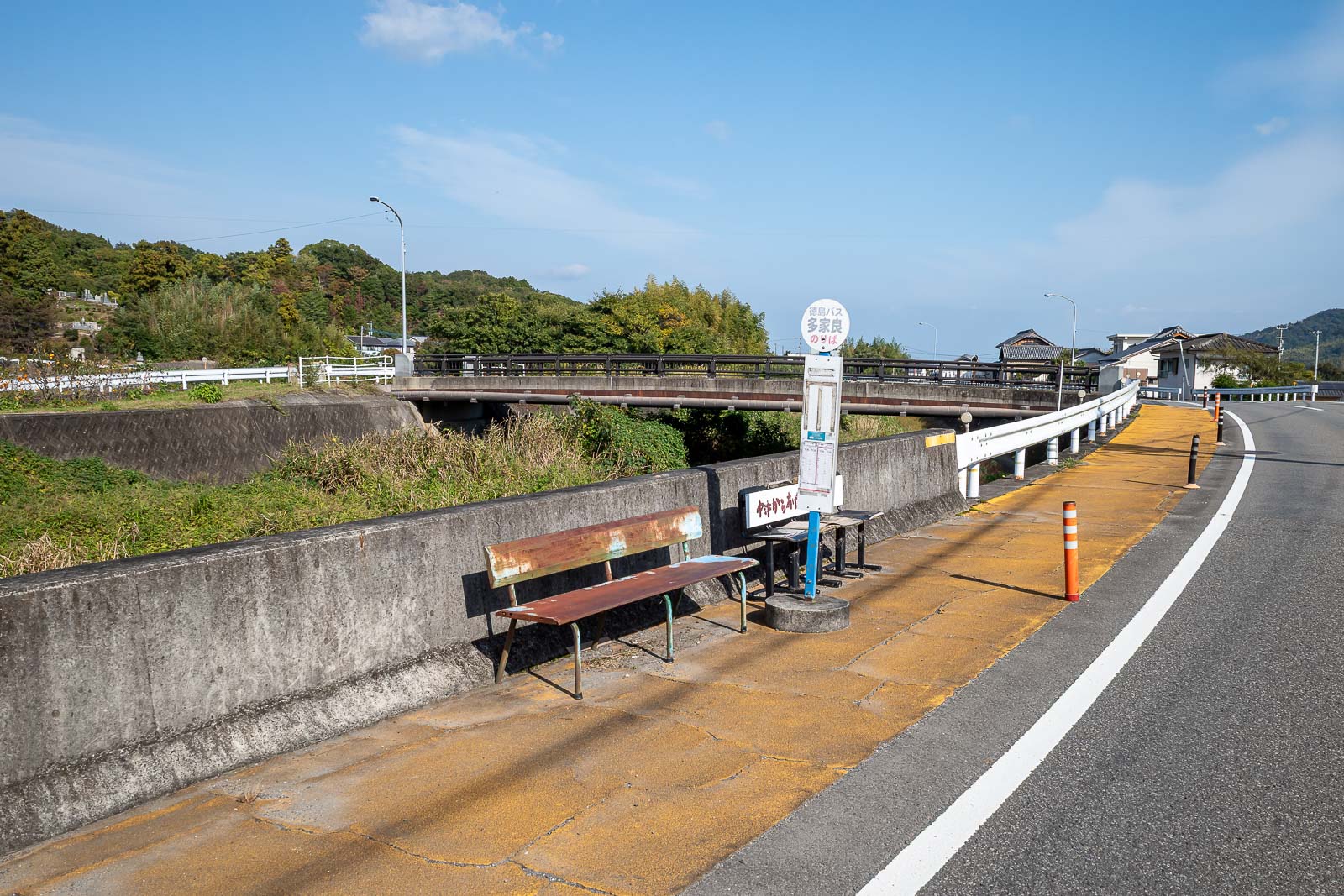
And then finally, back at the bus stop, and my bus came right on time. Great relief.